 Index
Index

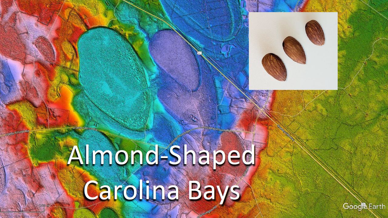
The Carolina Bays originated as inclined conical cavities; thus, they have a mathematically elliptical geometry. The shape of the bay may be modified by the conditions of the terrain at the time of emplacement, or it may be modified later by erosive processes or ground movement. This presentation discusses the mechanism of formation of the almond-shaped bays near Wilson, South Carolina.
This is a LiDAR image of the terrain surrounding Bennett's Bay, which is located about 2 miles southeast of Wilson, South Carolina. Bennett's Bay is one of the few large, intact bays remaining in South Carolina. It was previously known as Junkyard Bay, which is how it appears on USGS Topographic maps, but today, it is part of Bennett's Bay Heritage Preserve.

Although Bennett's Bay is a nature preserve, the hand of man is evident by the existence of several drainage ditches that cross at various points through the rim of the bay. The LiDAR image shows areas with less vegetation where the water flows, and the inset has a close-up of the channel on the east rim of the bay that drains eastward away from Bennett's Bay. Many bays that are used for agriculture have been drained in this way.
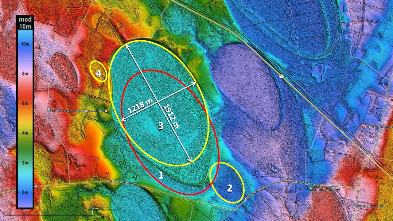
Here is the sequence of events that produced the landscape of Bennett's Bay. First, an impact created basin number one. We know this from the law of superposition because basin number one is overlaid by Bennett's Bay. Basin number two was emplaced after basin one. We can see that the rim of Basin one is overlaid by basin two. The third impact produced Bennett's Bay. It overlaid basin number one. Notice that the ellipse corresponding to Bennett's Bay has a width of 1218 meters and a length of 1912 meters, but the length does not include the pointy shape. The fourth small impact occurred after Bennett's Bay was formed and pushed some material that deformed the rim on the west side of Bennett's Bay.

This is the reconstruction of the series of impacts that created Bennett's Bay.
LiDAR makes it possible to examine the geology of the Carolina Bays in great detail, and hundreds of impacts using the experimental model enable us to deduce the mechanisms that formed the features that we see in the LiDAR images.
