The term "Ghost Bays" was originally used by Prof. W. Prouty to refer to Carolina Bays that have been highly eroded by moving water and are almost undetectable.
Transcript:
Don't be scared. There is nothing paranormal about the ghost Carolina Bays. This image has a ghost bay in the center of a plowed field. Can you see it? In this LiDAR image we can see the bay, and we also notice that there is a much bigger bay above it. Flipping back and forth between the satellite image and the LiDAR image helps with the visualization.
The term "ghost bays", in quotes, was the term used by Prof. William Prouty to refer to remnant bays, which are largely obliterated bays that are in the process of disappearing by the action of moving water. Prouty described a particular large ghost bay as being hardly recognizable, but its presence was suggested by a curved outline on one side where it was formed on slightly higher ground, and by the general uniformity of coloring of the main portion of the bay, characteristic of more uniform swamp area. William Prouty was a professor of geology at the University of North Carolina. He was named head of the Geology Department in 1932 and he retained that position until his sudden death in 1949. Prouty completed most of his paper entitled "Carolina Bays and their Origin" prior to his death, but it was published posthumously in 1952.
Prouty's paper included the image of Carolina Bays in Brunswick County, North Carolina. According to him, the largely obliterated bays toward the top right of this image are "ghost bays". This LiDAR image corresponds to Prouty's Figure. I was able to locate the bays in Prouty's image by looking for a road that curved around one of the bays in Brunswick County, North Carolina. I highly recommend that anyone publishing any paper about the Carolina Bays should use latitude and longitude for all the images. Some bays have names, but many of the names are ambiguous and cannot be found easily with Google Earth. The top right of this image has the barely discernible ghost bays described by Prouty. A more expanded satellite view of the same location shows that the city of St. James, North Carolina is encroaching on the bays. All the urbanization happened after Prouty published his original figure.
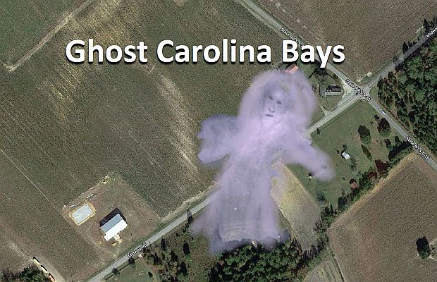
Water erosion is the main reason for the disappearance of Carolina Bays. First, they turn into ghosts, and then they are gone. Hurricanes, like Florence in 2018, cause widespread flooding and the rims of the Carolina Bays are modified by various lacustrine processes. These are normal erosive mechanisms and the resulting structures should not be interpreted as evidence of bay migration. In this image we can see the water currents flowing over the landscape. Many such floods must have occurred during the 13 millennia since the formation of the bays, and it is amazing that these sandy structures have endured for so long.
Google Earth provides an excellent platform for looking at surface features of the Earth. The center of this satellite image has two ghost bays outlined by white sandy rims. Google Earth permits the integration of LiDAR images obtained from Cintos.org. If you want to do research on the Carolina Bays, cintos.org is an indispensable resource. Here are the same ghost bays viewed with Google Maps instead of Google Earth. Google Maps has a map view, a satellite view, and a feature called Street View. The little man icon of Google Maps can be dragged toward any road that has been photographed by Google to get a street view image. We are going to drag the icon to the road, close to the power line poles and about 160 meters away from the farm building.
The street view shows the power line poles and beyond it we can see a thin fringe of white sand, which is the rim of the ghost bay. The darker soil beyond the white sand is the bay itself. Notice that the terrain seems absolutely flat. It is only through LiDAR with substantial vertical exaggeration that we can see the bays. And where is the farm building? The satellite image is from 2018, but the street images were made five years earlier, in 2013, so the building had not been built yet. The dates are given in tiny letters at the bottom of the image.
The Nebraska Rainwater Basins are on much rougher terrain than the bays in the East Coast. They have been highly eroded and all the small ones are gone. There are almost no basins smaller than one kilometer. This is a satellite image of the same area as the previous image. The sides of each square are one-mile long. Each square has four green circles. The half-mile circles are made by center-pivot irrigation systems to water corn, soybeans and wheat, which are the most important crops in Nebraska. This is another LiDAR image of Nebraska that includes the town of Hastings. The large elliptical basin in the top left corner has a length of 6.1 kilometers. A satellite image of the same area near Hastings shows that the town is surrounded by farms. Not even the ghosts of Nebraska Rainwater Basins are visible.
Professor William Prouty was an accomplished Carolina Bay researcher. If you have heard that there are about half a million Carolina Bays, it is because Prouty published that number. He also showed that the ellipticity of the bays is related to their length and he proposed that heart-shaped bays were formed by tandem impacts. Professor Prouty will also be remembered for using the term "ghost bays" for highly eroded bays.
